©
OpenStreetMap
contributors, ©
CARTO
, ©
OpenStreetMap
contributors
pause
02/11/2015
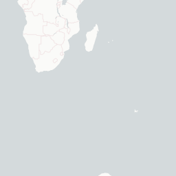
Demonstration of a heat map using time and date stamped geolocated data. This sample data set uses global earthquake data from from 2-10-15 to 3-10-15 available from the USGS.
Sample Heat Map Time Series Demo
+
-
CARTO
This visualization only works in modern browsers. Upgrade yours and enjoy.
Safari
Chrome
Firefox
Map created by
ursus